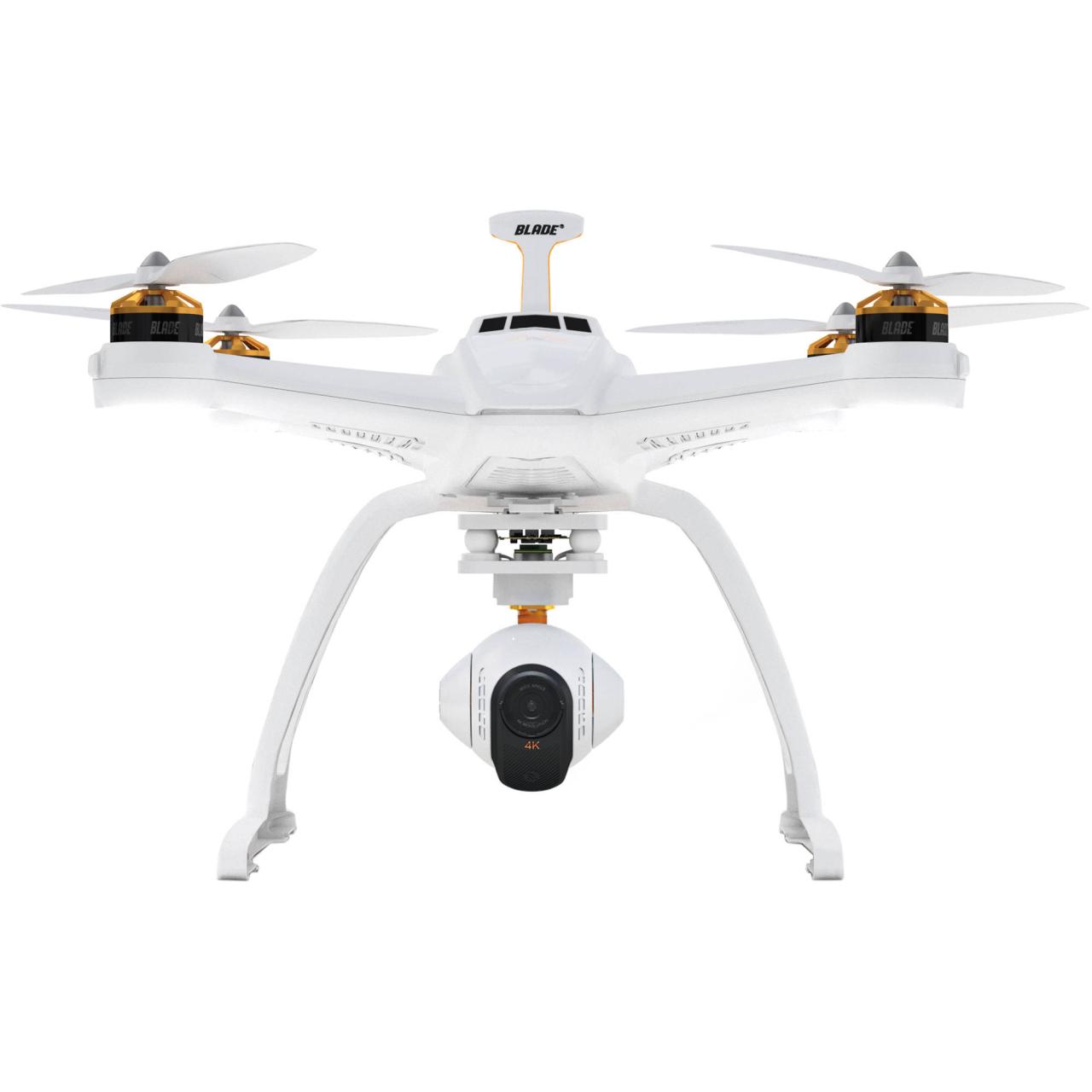
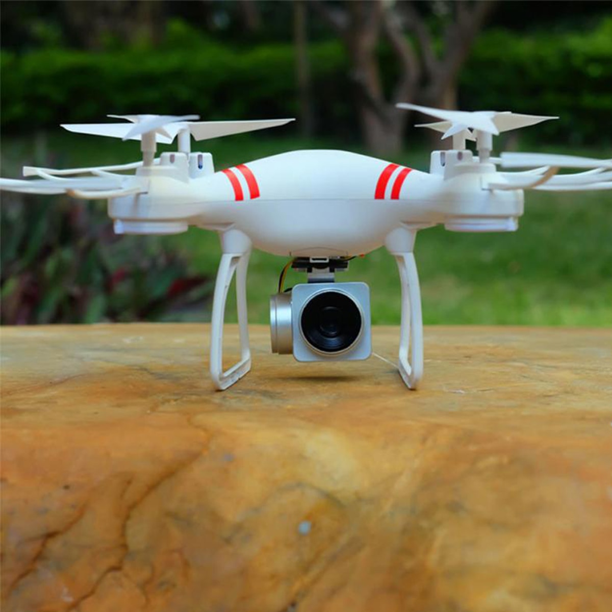
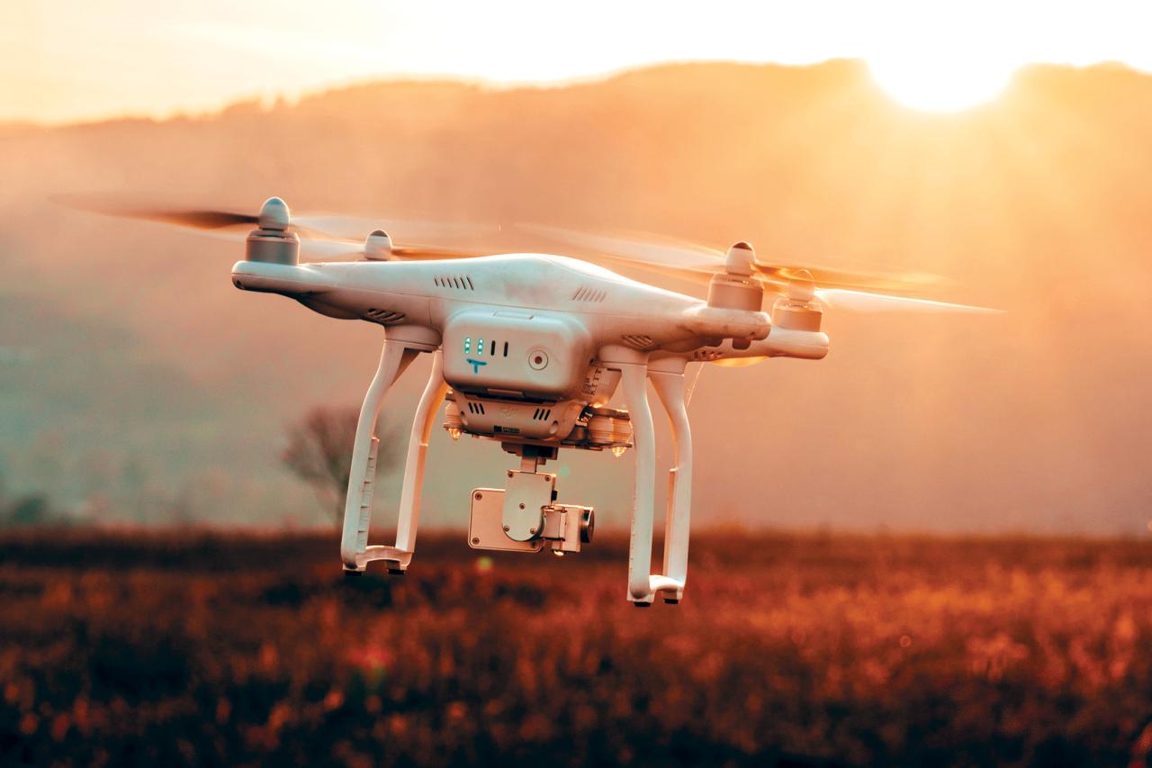
Drone with camera technology has revolutionized various sectors, from filmmaking and construction to agriculture and search and rescue. This exploration delves into the diverse types of drones available, examining their capabilities, applications, and the underlying camera technology. We’ll cover everything from consumer-grade models to professional-grade systems, highlighting the differences in features, price points, and operational considerations. Prepare to be amazed by the versatility and ever-evolving potential of this remarkable technology.
This guide provides a detailed overview of drone with camera systems, covering aspects like camera sensor types, lens technology, image stabilization methods, and flight operation. We’ll explore the diverse applications across various industries, discuss image and video processing techniques, and look towards future trends in this rapidly advancing field. The aim is to equip readers with a comprehensive understanding of the technology and its potential uses.
Types of Drones with Cameras
The world of drone cameras is diverse, encompassing a wide range of sizes, capabilities, and price points. Understanding the different types available is crucial for choosing the right drone for your needs, whether it’s for casual aerial photography or professional-grade data acquisition.
Drone Classifications Based on Size, Weight, and Camera Capabilities
| Drone Type | Size/Weight | Camera Resolution | Typical Uses |
|---|---|---|---|
| Nano Drone | Under 250g, highly portable | 2K-4K | Recreational flying, selfies, short-range aerial photography |
| Consumer Drone | 250g – 2kg, relatively portable | 4K-8K, some with advanced features | Aerial photography, videography, real estate photography, hobbyist use |
| Professional Drone | Over 2kg, often larger and more robust | High-resolution 4K-8K, thermal, multispectral, advanced sensors | Mapping, surveying, inspection, search and rescue, filmmaking |
| Industrial Drone | Variable, often customized for specific tasks | Highly variable, depending on application | Precision agriculture, infrastructure inspection, pipeline monitoring, mining |
Examples of Consumer-Grade Drones with Cameras

Consumer drones offer a great balance between affordability and functionality. Here are some examples:
- DJI Mini 3 Pro: Known for its compact size, excellent image quality (4K/60fps), and obstacle avoidance features. Price range: $700-$1000.
- DJI Air 2S: Offers a larger sensor than the Mini series, resulting in improved low-light performance and dynamic range. Price range: $1000-$1300.
- Autel EVO Nano+: A strong competitor to DJI, providing similar features at a slightly lower price point. Price range: $700-$900.
Features of Professional-Grade Drones with Cameras
Professional drones are designed for demanding applications and incorporate advanced technologies.
Professional-grade drones often feature longer flight times, enhanced stabilization systems, more robust construction, advanced sensor capabilities (like thermal or multispectral imaging), and more sophisticated flight control software. They typically offer greater payload capacity for carrying heavier cameras or specialized equipment. The price point reflects the increased capabilities and durability.
Camera Technology in Drones
The quality of drone imagery is heavily influenced by the camera technology employed. Understanding the different components and their impact is crucial for selecting the right drone for your needs.
Drones equipped with cameras offer a versatile platform for aerial photography and videography, finding applications in various fields. Understanding the technology behind these devices is crucial, and a notable example of a specific drone design is the shahed drone , which highlights certain engineering challenges and capabilities. Ultimately, the advancements in drone camera technology continue to improve image quality and operational efficiency for a wide range of users.
Drone Camera Sensor Types, Drone with camera
Two primary sensor types dominate drone cameras: CMOS and CCD. CMOS (Complementary Metal-Oxide-Semiconductor) sensors are more common in modern drones due to their lower power consumption, faster readout speeds, and lower cost. CCD (Charge-Coupled Device) sensors generally offer higher image quality but are less efficient in terms of power and cost.
Drone photography offers breathtaking aerial perspectives, but sometimes a more intimate, ground-level approach is needed. For capturing those detailed shots, many photographers appreciate the exceptional image quality of a camera like the fujifilm x100v , known for its compact size and superb lens. This allows for a versatile photographic workflow, combining the dynamic range of drone footage with the high-resolution detail of handheld photography.
Drone Camera Lens Types
Different lens types affect the field of view and perspective of the captured images. Wide-angle lenses capture a broader area, while telephoto lenses magnify distant objects. Zoom lenses offer versatility, allowing you to adjust the field of view.
| Lens Type | Field of View | Image Distortion | Typical Uses |
|---|---|---|---|
| Wide-Angle | Large | Potentially higher barrel distortion | Landscape photography, capturing large areas |
| Telephoto | Narrow | Lower distortion | Close-up shots of distant objects, wildlife photography |
| Zoom | Variable | Variable, depending on zoom level | Versatility for different shooting scenarios |
Drone Image Stabilization Techniques
Effective image stabilization is essential for sharp, clear images and videos. Drones employ various techniques, including electronic image stabilization (EIS) and gimbal systems. EIS digitally corrects for minor camera shake, while gimbal systems use motorized mounts to physically stabilize the camera, resulting in superior image stability, especially in windy conditions.
Drone Camera Applications
Drones equipped with cameras are transforming various industries, offering efficient and cost-effective solutions for a wide range of tasks.
Applications Across Industries
The versatility of drone cameras makes them suitable for many applications.
- Agriculture: Crop monitoring, precision spraying, field mapping.
- Construction: Site surveying, progress monitoring, inspection of structures.
- Filmmaking: Aerial cinematography, capturing stunning visuals.
- Search and Rescue: Locating missing persons, assessing disaster areas.
- Real Estate: Property photography, virtual tours.
Utilizing Thermal Cameras
Thermal cameras detect infrared radiation, producing images based on temperature differences. These images show heat signatures, revealing information invisible to the naked eye. Applications include:
- Building inspections: Detecting heat loss, identifying insulation problems.
- Search and rescue: Locating individuals in dark or obscured environments.
- Wildlife monitoring: Tracking animal movements and behavior.
Drone-Based Infrastructure Inspection Scenario
A bridge inspection using a drone with a high-resolution camera and potentially a thermal camera could involve the following:
- Pre-flight planning: Identifying the inspection area and creating a flight plan.
- Image capture: Flying the drone along the bridge, capturing high-resolution images and thermal data.
- Data processing: Using specialized software to stitch images together, creating a 3D model of the bridge.
- Analysis: Identifying potential cracks, corrosion, or other structural defects based on the imagery.
- Report generation: Creating a detailed report with images and findings, providing recommendations for repairs or maintenance.
Drone Flight and Operation
Safe and legal drone operation requires understanding various factors affecting flight and adhering to regulations.
Factors Affecting Drone Flight Time and Range
Several factors influence how long and far a drone can fly.
| Factor | Impact on Flight Time/Range |
|---|---|
| Battery Life | Directly impacts flight time; larger batteries allow for longer flights. |
| Wind Conditions | Strong winds increase energy consumption, reducing flight time and range. |
| Payload Weight | Heavier payloads (cameras, sensors) increase energy consumption, reducing flight time. |
| Temperature | Extreme temperatures can affect battery performance. |
Safe and Legal Drone Operation

Operating a drone safely and legally is paramount. Here’s a step-by-step guide:
- Check weather conditions and ensure safe flying conditions.
- Register your drone with the relevant aviation authority (e.g., FAA in the US).
- Plan your flight path and ensure you are flying within legal limits.
- Always maintain visual line of sight with your drone.
- Respect airspace restrictions and avoid flying near airports or other sensitive areas.
- Follow all applicable regulations and safety guidelines.
Importance of Regulations and Safety Protocols
Adhering to regulations and safety protocols is crucial to prevent accidents and ensure responsible drone operation. These regulations protect both the drone operator and the public. Familiarize yourself with the specific regulations in your area before operating a drone.
Image and Video Processing

Processing drone imagery is essential for enhancing image quality and extracting valuable information.
Methods for Enhancing Drone Imagery
Various techniques can improve the quality and usability of drone imagery. These include:
- Image stitching: Combining multiple overlapping images to create a larger, seamless image.
- Color correction: Adjusting color balance and contrast to improve image appearance.
- Noise reduction: Reducing digital noise to improve image clarity.
- Geometric correction: Correcting for distortions caused by lens effects or camera movement.
Software Options for Drone Image and Video Processing
Several software options are available for processing drone data.
| Software Name | Key Features | Pricing |
|---|---|---|
| Pix4Dmapper | Powerful photogrammetry software, creating 3D models and orthomosaics. | Subscription-based |
| Agisoft Metashape | Another popular photogrammetry software, known for its accuracy and versatility. | One-time purchase or subscription |
| DroneDeploy | Cloud-based platform for drone data processing and analysis. | Subscription-based |
Photogrammetry and Orthomosaic Creation
Photogrammetry uses overlapping images to create 3D models and orthomosaics. Orthomosaics are georeferenced mosaics that are geometrically corrected, providing accurate measurements and spatial information. These are crucial for applications like mapping, surveying, and construction monitoring.
Future Trends in Drone Camera Technology: Drone With Camera
Several emerging technologies are poised to significantly impact drone camera capabilities and applications.
Emerging Technologies
Advancements in various areas are shaping the future of drone cameras.
- Artificial Intelligence (AI): AI-powered image recognition and object detection will enable drones to perform more complex tasks autonomously.
- Improved Sensor Technology: Higher-resolution sensors, improved low-light performance, and multispectral/hyperspectral imaging will enhance data acquisition capabilities.
- Advanced Image Processing: Real-time processing and analysis of drone imagery will enable faster decision-making in various applications.
- Miniaturization: Smaller and lighter cameras and drones will expand the range of possible applications.
Potential Applications of Emerging Technologies
These advancements will enable drones to perform tasks that are currently impossible or impractical.
- Autonomous infrastructure inspection: Drones could autonomously inspect bridges, pipelines, and power lines, identifying potential problems.
- Precision agriculture: Drones could monitor crop health in real-time, providing data for optimized irrigation and fertilization.
- Enhanced search and rescue operations: AI-powered drones could locate missing persons more efficiently.
Hypothetical Scenario: Advanced Drone Technology in the Future
Imagine a future where swarms of small, autonomous drones equipped with advanced sensors and AI capabilities collaboratively map and monitor large-scale infrastructure projects, providing real-time data on progress, safety, and potential risks. This could significantly improve efficiency and reduce the risk of accidents.
From the intricacies of camera sensor technology and lens selection to the practical considerations of safe and legal operation, this exploration of drone with camera systems has showcased the remarkable capabilities and widespread applications of this technology. As we look to the future, the continued advancements in AI, sensor technology, and higher resolutions promise to further enhance the capabilities of drones, opening up even more exciting possibilities across various industries.
The potential for innovation and impact remains vast, and the journey continues.
Detailed FAQs
What is the flight time of a typical drone with a camera?
Flight time varies greatly depending on the drone model, battery capacity, wind conditions, and payload weight. Expect anywhere from 15 to 45 minutes on a single charge.
How much does a drone with a good camera cost?
Prices range widely, from a few hundred dollars for basic consumer models to tens of thousands for professional-grade systems with advanced features.
What are the legal requirements for flying a drone with a camera?
Regulations vary by country and region. Generally, you’ll need to register your drone and adhere to rules regarding flight altitude, airspace restrictions, and privacy concerns.
What software is best for editing drone footage?
Popular options include Adobe Premiere Pro, DaVinci Resolve, and DJI’s own software. The best choice depends on your needs and budget.
